CIVIL 124
Civil Engineering Surveying - I
Chapter 1 : Introduction to Surveying
DAE Civil Technology | First Year
New Syllabus: 2024-2025
Short Questions

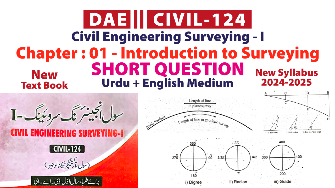
| There are basically two types of surveying. | سروئینگ کی بنیادی طور پر دو اقسام ہیں۔ |
| 1. Plane Survey | پلین سروے |
| 2. Geodetic Survey | جیوڈیٹک سروے |
| In civil engineering, the survey means to collect necessary information about region and these information are represented on drawing. The process of survey is called surveying. | سول انجینئرنگ میں سروے سے مراد کسی علاقہ یا پراجیکٹ کے متعلق ضروری معلومات اکٹھا کرنا اور اسے ڈرائینگ پر ظاہر کرنا ہوتا ہے۔ سروے کرنے کے عمل کو سرئینگ کہا جاتا ہے۔ |
| In geodetic survey the curvature of earth is considered. | ایسا سروے جس میں زمین کی سطح کو گولائی دار تصور کیا جاتا ہے، جیوڈیٹک سروے کہا جاتا ہے۔ |
| The map that is prepared for the demarcation of any property or fields is called a cadastral map. | کسی بھی جائیداد یا کھیتوں کی حدودبندی کیلئے جو نقشہ تیار کیا جاتا ہے کیڈسٹرل میپ کہلاتا ہے۔ |
| There are two basic principles of surveying. | سروئینگ کے دو بنیادی اصول ہیں۔ |
| 1. First Principle: | 1. پہلا اصول |
| a. Whole to the parts | > کل سے جز |
| 2. Second Principles: | 2. دوسرا اصول |
| a. Measurement of both lines | > دونوں لائنوں کی پیمائش |
| b. Measurement of both angles | > دونوں زاویوں کی پیمائش |
| c. Measurement of a line & a angle | > ایک لائن اور ایک زاویے کی پیمائش |
| The main principle of a chain and tape survey is surveying by triangulation. In chain and tape surveying, the area to be surveyed is divided into several smaller triangles, and it is well divided into these triangles. | چین اور ٹیپ سروے کا بنیادی اصول مثلثوں کے ذریعے سروے کرنا ہے۔ چین اور ٹیپ سروے میں ، سروے کیے جانے والے علاقے کو کئی چھوٹی مثلثوں میں تقسیم کیا جاتا ہے ، اور یہ ان مثلثوں میں اچھی طرح سے تقسیم ہوتا ہے۔ |
| 1. Designing the engineering project map. | انجینئرنگ پراجیکٹ کا نقشہ تیار کرنا۔ |
| 2. Collecting information about the area. | علاقہ کے متعلق معلومات اکٹھی کرنا۔ |
| 3. Designing with the help of these maps. | ان نقشہ جات کی مدد سے ڈیزائننگ کا کام کرنا۔ |
| 4. To find out the physical features of the area. | علاقہ کے طبعی خدوخال معلوم کرنا۔ |
| The whole region which is to be surved is reconnaissance, in this step take a round and observe the region. These observation include the roads, passages, stream, canals, railway lines, highway, populated area and grave yard, etc in it. | جس علاقے کا سروے کرنا ہو تو سب سے پہلے اس علاقے کا ابتدائی معائنہ کیا جاتا ہے اس معائنہ میں پورے علاقے میں گھوم پھر کر علاقے کا جائزہ لیا جاتا ہے۔ راستوں سے واقفیت حاصل کی جاتی ہے اور علاقے میں موجود اہم نقاط مثلاً ندی، نالے، ریلوے لائن، شاہرات، آبادی اور قبرستان وغیرہ کی نشاندہی کی جاتی ہے۔ اس سروے کو ابتدائی سروے کہا جاتا ہے۔ |
| This is a survey in which the boundary line, corner and other reference points of a project are identified on the ground. This is done by putting pegs, flagging or marking with paint and lime. | یہ ایسا سروے ہے جس میں کسی پراجیکٹ کی باؤنڈری لائن، کونے اور دیگر حوالہ والے نقاط کی نشاندہی زمین پر کی جاتی ہے۔ یہ نشاندہی کھونٹیاں لگا کر، جھنڈیاں لگا کر یا پینٹ اور چونے سے نشان لگا کر کی جاتی ہے۔ |
| 1. Padometer | پیڈومیٹر |
| 2. Chain | چین |
| 3. Steel Band | سٹیل بینڈ |
| 4. Tape | فیتہ |
| 5. Tacheometer | ٹیکومیٹر |
| 6. Distance Meter | ڈسٹینس میٹر |
| 7. Total Station | ٹوٹل سٹیشن |
08/10/2024 Completed...
NOTE
If you find any mistake in them, do tell in the comment, so that it can be corrected.
If you face any issues feel free to contact me on WhatsApp
03129671316, 03085507292
03129671316, 03085507292
If you want more improvement
Share feedback in the comment
Share feedback in the comment
INSTRUCTOR
MUHAMMAD BIN JAMEEL
BSC ENGG. CIVIL


